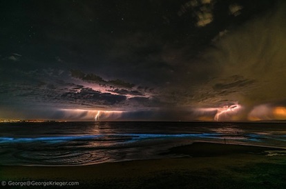
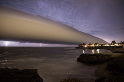
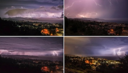
California was transformed into a nightmarish hellscape over the weekend, with powerful lightning storms triggering new wildfires – some of which became fire tornados – as Death Valley temperatures hit a possible world record. Ferocious storms lashed vast swaths of California, with thousands of bolts of lightning triggering localized wildfires and causing major power outages across San Francisco’s Bay Area. Several jaw-dropping photographs captured the sheer scale and ferocity of the tempests.
Meanwhile, as authorities continued their battle with existing major wildfires sweeping the state (The Lake Fire is just 12 percent contained), the rare summer thunderstorm forced hundreds of residents to evacuate throughout Northern California. Some 4,500 buildings were at risk from new wildfire outbreaks caused by the storm, with authorities issuing rare warnings of so-called “fire tornados” sweeping through the area north of Lake Tahoe on Saturday afternoon. A fire cloud known as a pyrocumulonimbus formed above the blaze in Loyalton, about 40 miles (64 kilometers) west of Reno, Nevada. The heat and smoke from the ongoing wildfires sent pollution levels soaring to highs not seen in decades as air quality plummeted. Measurements from the Death Valley area recorded highs of 130F (54.4C) which, if confirmed by NOAA, would break the record for the highest official temperature ever reliably recorded. Daniel Swain, a climate scientist at UCLA, said it might be the “most widespread and violent summer thunderstorm event in memory for Bay Area,” while expressing concern that the current heatwave hitting California is “not even half over.” Source URL |


